About the company
CheckTerra s.r.o. was founded in 2013.
Currently the company is made up of a team of professionals with more than twenty years of experience in the field of geodesy, geoinformatics and municipal services.
The company’s prime objective is the collection and processing of data using unmanned aerial vehicles (drones), laser scanning, mobile mapping systems, digital photogrammetry as well as conventional geodetic methods such as surveying with the aid of a total station and the GNSS.
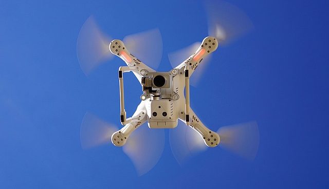
UAS (DRONES)
PHOTOGRAMMETRY
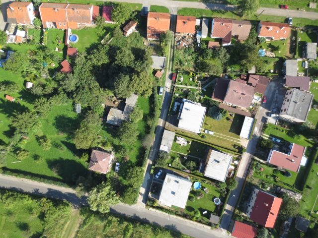
Photogrammetry is a standard geodetic method used to obtain 3D geospatial data.
A typical example is an orthophoto map. In this case, for example, most of us can present an orthophoto map on googlemaps, mapy.cz etc. The advantage of the orthophoto maps we create is their greatly enhanced details and in current acquired data.
Another most commonly inquired for output is DTM (digital terrain model). This records the actual situation of locations of interest in 3D, i.e. all surveyed points have automatic X, Y and Z coordinates.
LASER SCANNING
Whether this involves the scanning of buildings, industrial premises, historic monuments or technology units, our team can deal with every challenge.
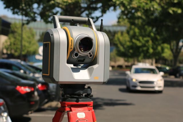
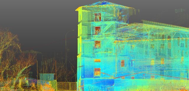
A laser scanner is a geodetic instrument which – simply speaking – disperses a laser beam around it. This then is reflected off the surrounding scanned area and back to the instrument. This principle results in so-called point clouds. A point cloud has great density (there is only a few millimetres of distance between individual points) and a number of points (one survey can contain up to hundreds of millions of points). These points are then displayed in 3D – each individual point has X, Y and Z coordinates.
CONSTRUCTION AND TECHNICAL DOCUMENTATION
The output of the survey of the actual condition of a building is digital construction and technical documentation, which contains a situation drawing, floor plan of individual floors (including all existing structures, longitudinal and transversal sections and views of all facades of a building).
Obviously floor plans contain an integrated dimensioning system including a detailed description of heights, levels, openings, staircases, roof frames, etc.
Another possible output can be the photo documentation of buildings. It is not even a problem to create a 3D model and visualisation.
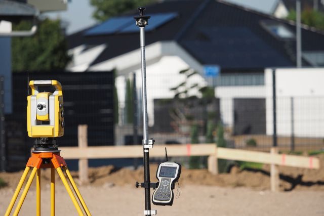
MAPPING
If you need mapping data to correspond as much as possible to the actual situation of the terrain.
The output can be: 3D topographic and altimetric survey of locations of interests, creation of DTM (digital terrain model), creation of a special-purpose large-scale map
REAL ESTATE CADASTRE
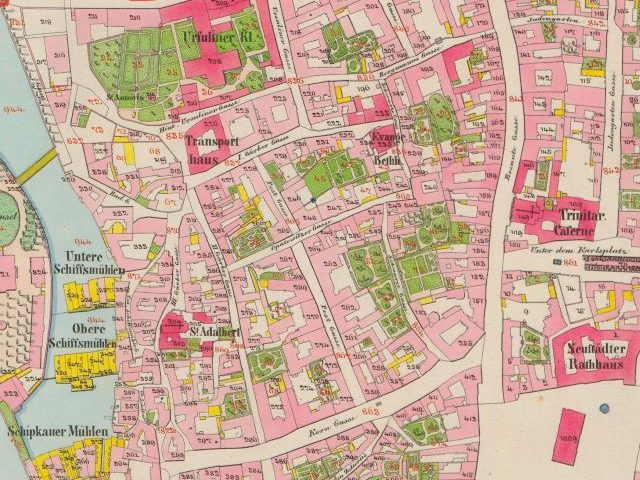
Checkgis
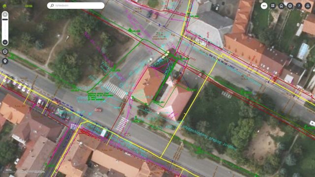
CheckGIS displays your spatial data in amazing quality and in an environment that can be controlled by everyone.
CheckGIS is designed for utility managers, facility managers, site managers and other engineers who need access to basic GIS data whether in an office or in the field.
2D maps: Map data for all your locations clearly arranged in one place.
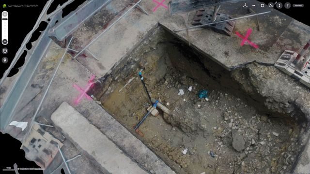
3D models: Browsing and basic work (measurements) with three-dimensional terrain models.
Checkphoto

References
Do you have a question?
Contact us
Use our quick form.
Call us on +420 606 751 805 or write to us at info@checkterra.cz.