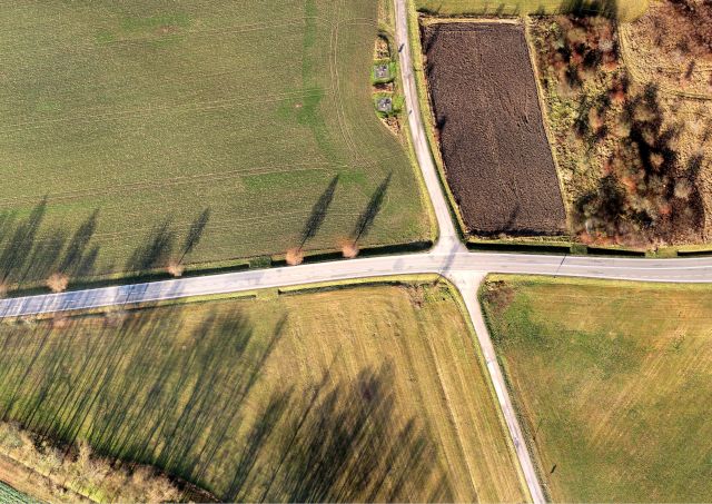
A survey of topography and altimetry of the location, creation of a topographic map 1:1´000 and DTM (digital terrain model). The total range of the area was 4km2 (400+ ha). We carried out the work using drones and conventional geodetic methods (GNSS, total station).


