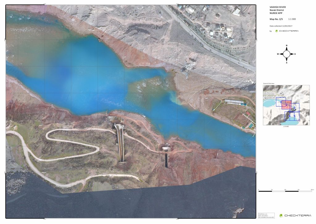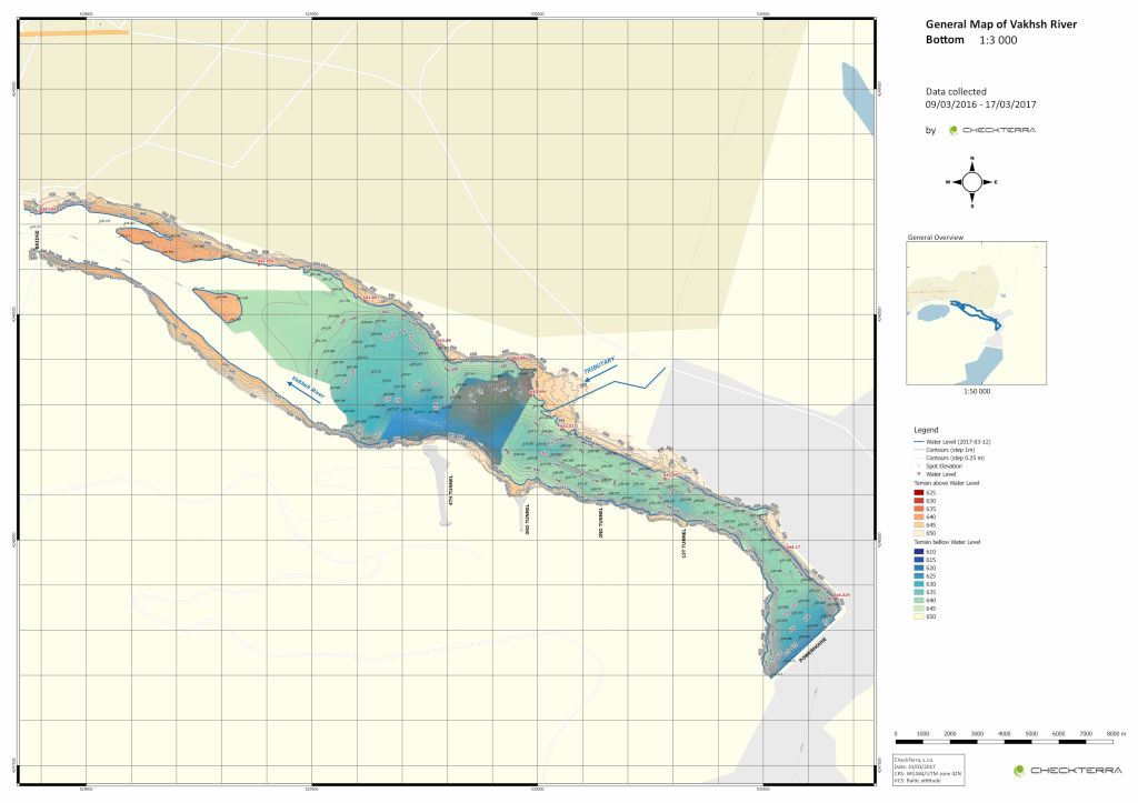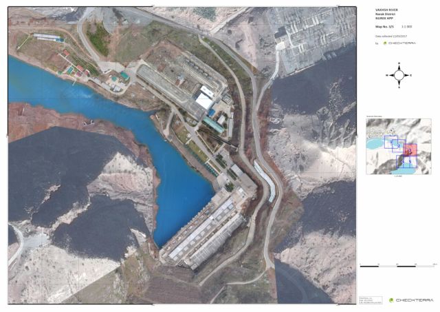
The task was to scan the entire range of the required area of the Vakhsh River. This involved scanning the location of the dam of 2km2 (about 200 ha) and survey of 40+ bathymetric profiles. The output was a detailed orthophoto map and DTM (digital terrain model) of the surrounding shores including contours.