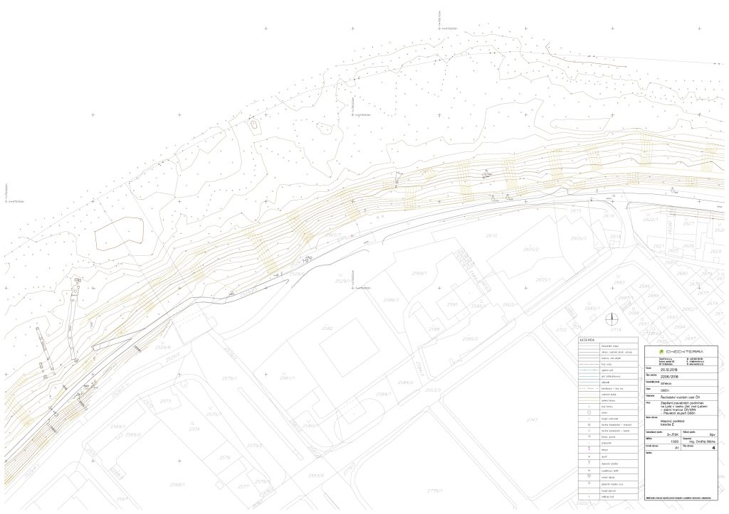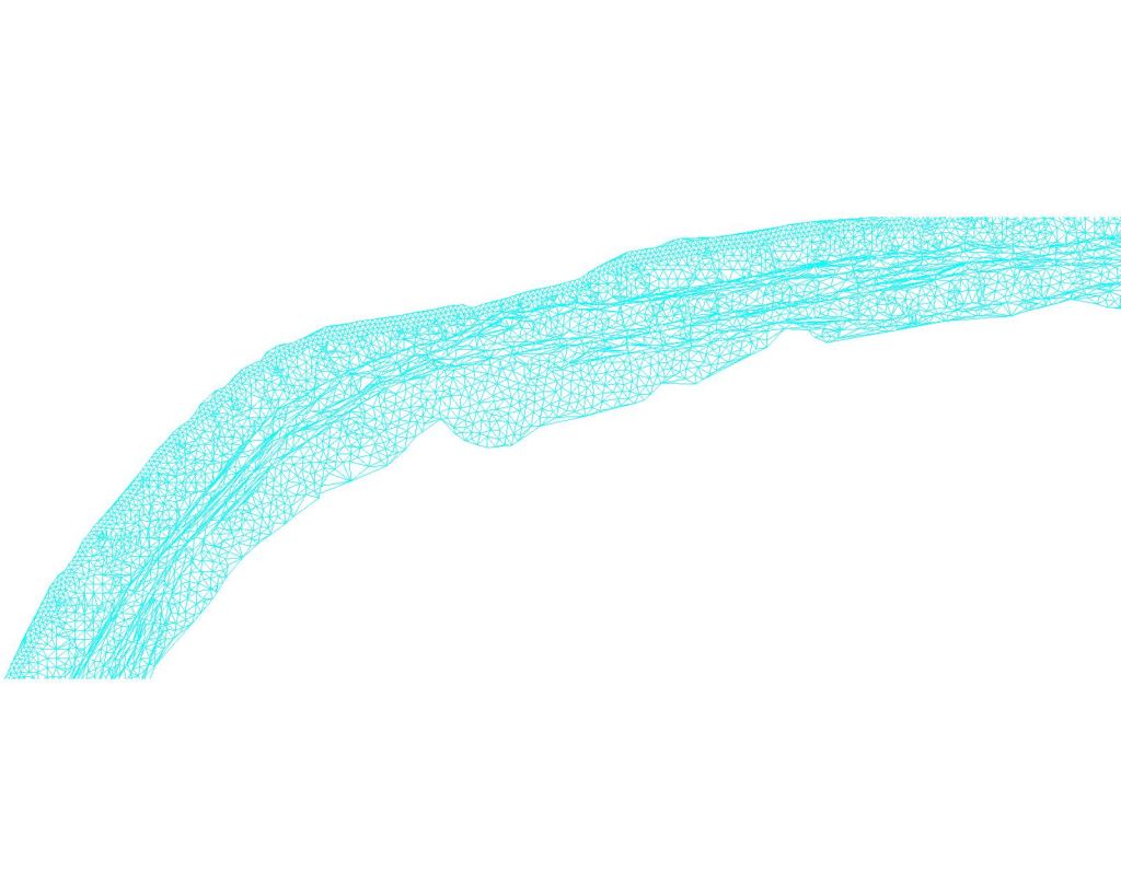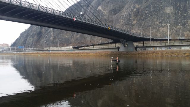
The task was to perform a detailed topographic and altimetric survey of the terrain concerned, a detailed topography and altimetry survey (measurement) of all structures, paved surfaces and vegetation in the terrain concerned, preparing the digital terrain model (DMT) and situational outline of the measurement of the terrain concerned including the contour lines and projections into the cadastral map on a scale of 1:500, survey and all outputs were carried out and incorporated into the S-JTSK coordinate system, in the B.p.v. altrimetric system.