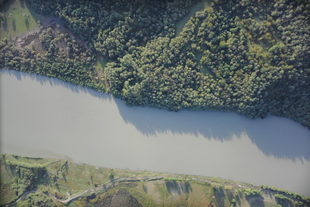
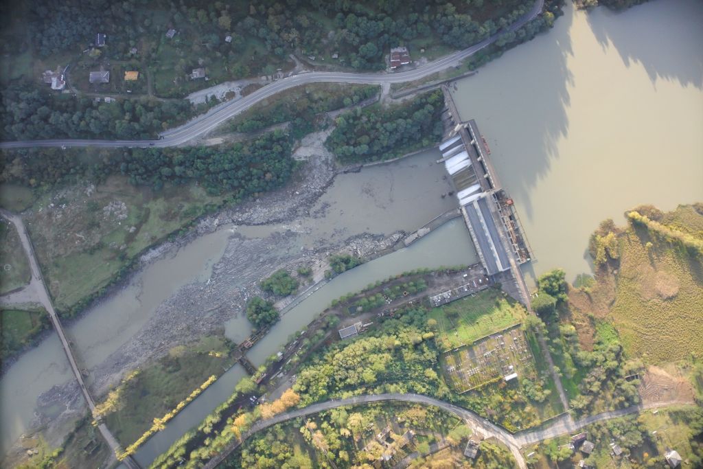
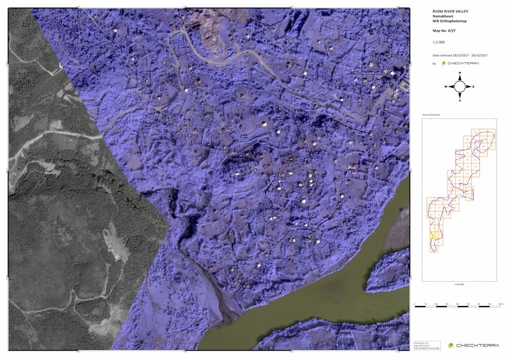
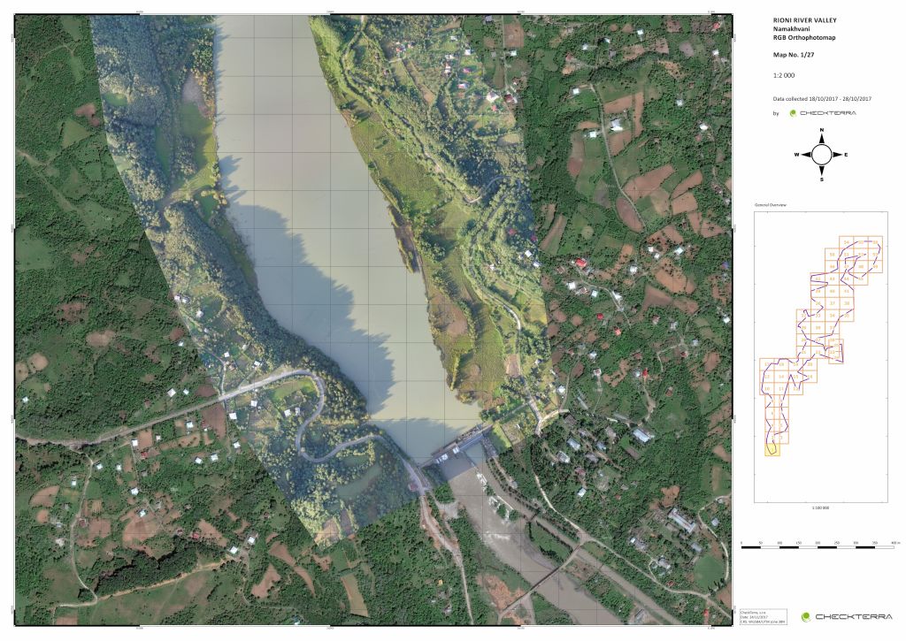
The task was to scan the entire range of the required area of the Rioni River in western Georgia of about 95 km2 (9,500 ha) in size. We carried out the scanning using UAV (drones). The orthophoto map was georeferenced and analysed in two colour spectrums of RGB and IR.