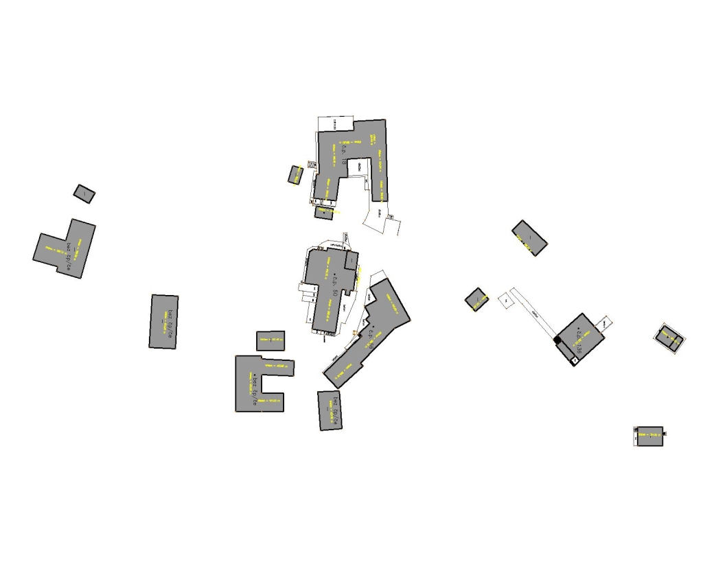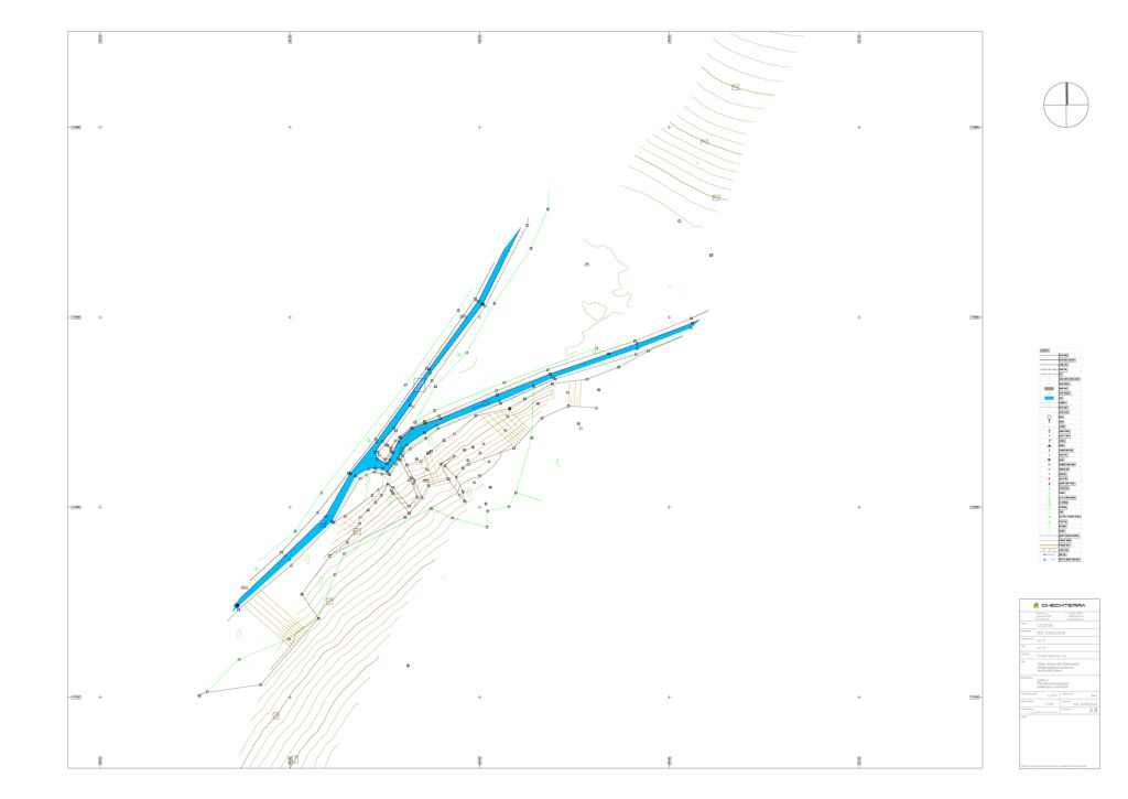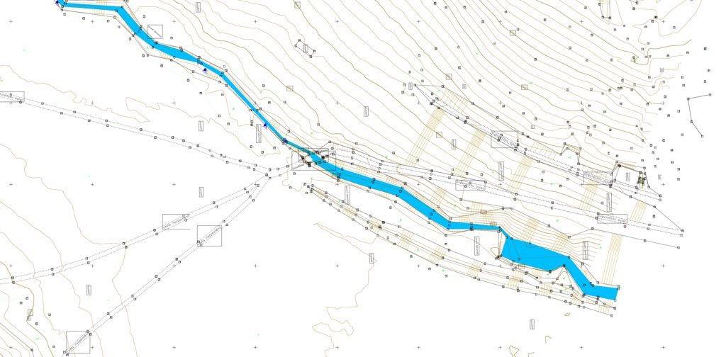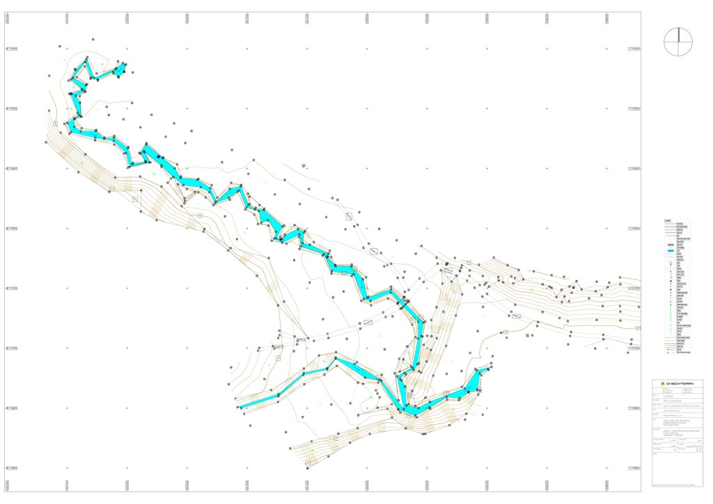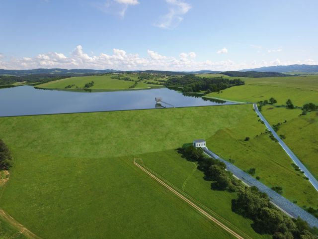
Almost 6 km2 (600 hectares) of topographic work for the water reservoir project. The outputs consisted of topographic maps on a scale of 1:500 and sets of transversal section and longitudinal profiles. Thanks to our innovative approach (using drones for most of the open forestless terrain) we were able to offer an unbeatable price.